Remote sensing (RS) is advancing understanding of woodland ecological processes and ecosystem services greatly at numerous spatial scales. By providing airborne images and three-dimensional pictures of ecosystems, especially woodlands, RS allows lots of data to be obtained, processed and interpreted in a relatively short amount of time. Using these advantages, identification of indicative, precursory signs of woodland collapse using RS would be of great benefit to the future management of that woodland for both conservation of biodiversity and maintenance of ecosystem service provisions.
Hyperspectral and lidar data (different types of RS) are available for Denny Wood, a region of the New Forest dominated by beech and oak (Figure 1). The data was recorded in April and July 2010 by the Airborne Research and Survey Facility, a division of the Natural Environment Research Council. The RS data provides both leaf-on and leaf-off information. Denny Wood has two long-term transects, one that is inside an enclosure (1 km) and one that is outside (320 m), consisting of 48 and 16 20 x 20 m contiguous plots, respectively. Both transects have been repeatedly assessed over the past 50 years, displaying a clear trend of ecosystem collapse (large-scale mortality of dominate trees).
The continued assessment of these two transects has provided detailed temporal data on their collapse histories. The transformation of this woodland therefore provides an opportunity to investigate the impacts along a collapse history gradient, both temporally and spatially. While current attributes including biodiversity measures, soil properties and function, current condition of the individual tree crowns and grazing pressures have been recorded recently (2014), the RS data available for Denny Wood offers a unique opportunity to acquire specific structural features and derived indices of function in relationship to ecosystem condition and collapse.
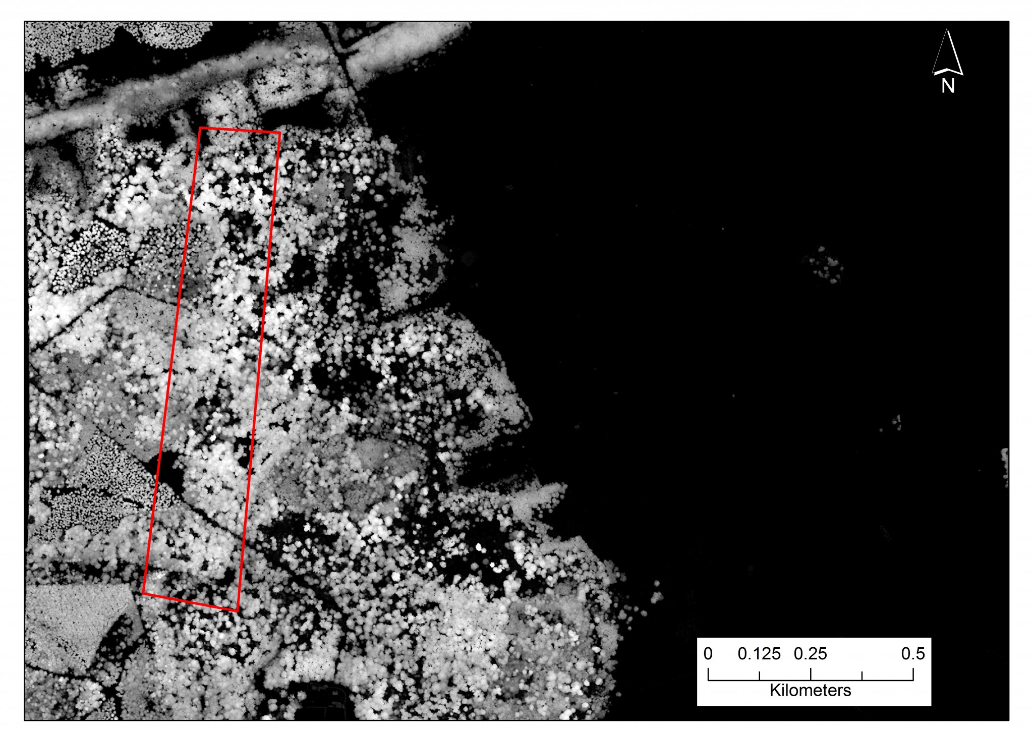

Figure 1: Lidar images that encompass the Denny Wood area of the New Forest. One of the transects is highlighted by the red rectangle (seen in the top and bottom images).
The image on the bottom shows the total extent of the lidar available.
A Differential GPS and Total Station will be used to precisely map the transects, enabling up to 2 mm accuracy for each permanent granite corner posts of all the plots and therefore accurate mapping using GIS. Structural information obtained from RS will include attributes such as the canopy structure, structural complexity and the heights of the individual trees and understorey. From these results inferences can be produced regarding other structural properties. The hyperspectral data will be used to produce indices of such attributes as leaf area index, chlorophyll and leaf water content, providing proxies for condition and function of both oak and beech individually. The aim of this work will therefore be to test whether remote sensing-derived indices of woodland structure relate to the condition, function and biodiversity of a collapsing woodland, and whether any trends are non-linear, possibly denoting the occurrence of ecological thresholds.