Geophysical survey is a cost effective method of surveying large areas during the evaluation process. We provide geophysical services to both archaeology and industry and our extensive range of geophysical instruments enable us to provide a rapid and cost-effective service throughout the UK.


The results of surveys are used to determine the presence of buried archaeological remains and are regularly requested by Local Authority Planning Archaeologists prior to the determination of a planning application for a proposed development.
The results can be used to identify areas of archaeological potential within a proposed development site and can aid the developer in highlighting time and cost implications at an early stage. Geophysical survey is therefore a key tool in the formulation of appropriate mitigation strategies.
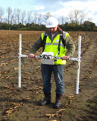
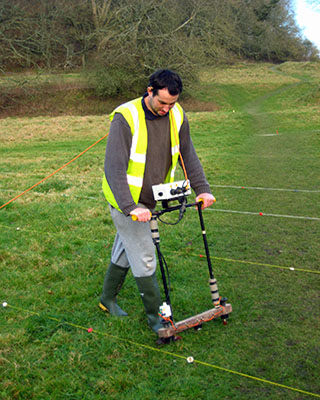
Our range of geophysical instruments includes magnetometers, resistivity meters and Ground Penetrating Radar, as well as the latest processing software. We have extensive experience of planning, undertaking and interpreting small and large scale geophysical surveys both in the UK and abroad.
Our bespoke geophysical survey services make us one of the largest providers in the UK, and because we tailor our services to fit your specific needs we can provide reduced set-up time, quick project turn-around and very competitive rates.
Our geophysical survey capability is suitable for a wide variety of projects including:
- road schemes
- pipeline schemes
- housing developments
- solar and wind farms
- mineral extraction
- rural developments
- cemetery extensions
- research projects